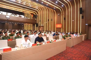
VSEO 2 presents the applications of remote sensing in monitoring flooding and surface waters.
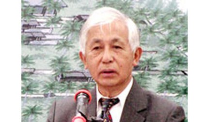
According to Prof. Tran Thanh Van, Chairman of the Rencontres du Vietnam, in the next few decades, remote sensing is going to be one of the top scientific priorities in Vietnam. Therefore, his organization cooperated with the University of Science and Technology of Hanoi (USTH) to hold annual classes in ICISE especially for Earth remote sensing.
Taking part in this training, learners will have a chance to obtain new knowledge and exchange information with experts from the French National Center for Space Studies, the French National Center for Scientific Research, the Paris Observatory, Paris Diderot University, Paris-Est Créteil University, Montpellier University, USTH, and the Ho Chi Minh City Space Technology Application Center.
In the event, Vietnamese organizations are going to receive a large amount of free and creative data named ‘the analysis database on space’.
Consulting this training are nine scientists from universities and research institutes from France and Vietnam.


