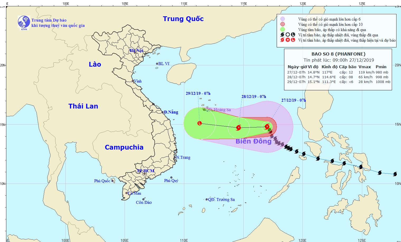
As forecast, the eye of Phanfone is expected to locate at around 310 kilometers from the Paracel Islands with its sustained winds between 60 and 75 kilometers per hour in the next 24- 48 hours.
The dangerous zone is predicted to maintain the west northwestward with its maximum speed of around 10 kilometers an hour.
Yesterday afternoon, the eye of Phanfone was centered at around 440 kilometers from the east northeastward of the Southwest Cay Islet with powerful winds of level 8-12.
Amid the ongoing weather condition, the Border Guard High Command gave announcement, tally and instruction to 41,592 vessels carrying 206,338 people out of the dangerous areas near the eye of Phanfone.
The Standing Office of the Central Steering Committee for Natural Disaster Prevention and Control suggested localities to keep close eye on the storm and northeastern monsoon.


