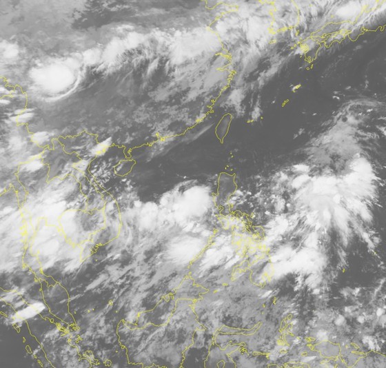
According to the National Hydrology Meteorology Forecast Center, the system was at around 10.5 to 11.5 degrees north latitude and 111.5-112.5 degrees east longitude in the middle of the East Sea this morning.
In next 24 hours, the zone is able to move the northwestward and turn into a tropical depression.

Ho Chi Minh City and many places of the Southern region will experience torrential downpours.
Low- pressure trough connecting with the dangerous zone and the southwest monsoon continues to provoke shower, thunderstorm, whirlwind, 2 to 3- meter big waves and rough sea in the middle of the East Sea including the Spratly Islands, territorial waters from Binh Dinh to Ca Mau, Kien Giang and the Gulf of Thailand.
The capital city of Hanoi, Ho Chi Minh City and many places of the Southern region would experience torrential downpours.