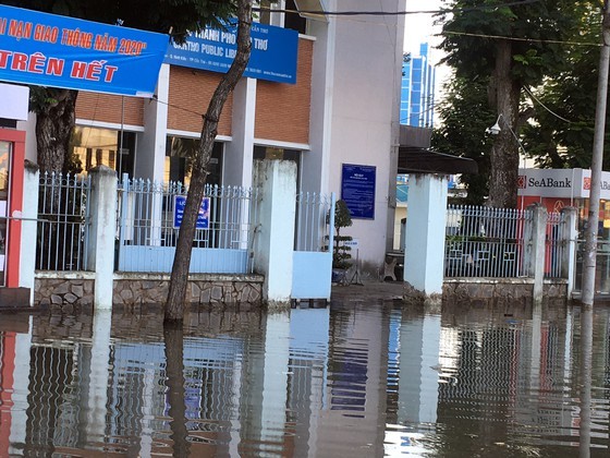
Rising water partly submerged Ninh Kieu wharf, many houses and yards of offices.
According to the Steering Committee for Natural Disaster Prevention and Control, Search and Rescue of Can Tho City, the high tide reached its peak of 2.25m on November 16 and 17, higher than 0.08 meter the high tide peak in the mid-October.
According to the Steering Committee for Natural Disaster Prevention and Control, Search and Rescue of Can Tho City, the high tide reached its peak of 2.25m on November 16 and 17, higher than 0.08 meter the high tide peak in the mid-October.
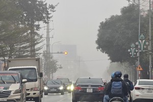
This is the highest tide in the year so residents need to proactively respond to flooding in low-lying places and riverside urban areas. Currently, the water level in the Mekong Delta downstream area is rising rapidly due to an impact of the high tidal wave. Many roads have braced for the surge in the mornings and evenings. Some photos about high tide- battered roads in Can Tho City as of this morning: