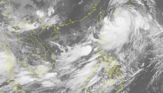
This dangerous zone is expected to continue moving northwestward at a maximum speed of 10 kilometers an hour before it is going to turn into a low- pressure zone.
From the early morning, the offshore territorial water begins violent winds of level 6-8.
In addition to strong operation of the southwest monsoon, territorial waters from Binh Thuan to Ca Mau, the Gulf of Thailand, the Paracel and Spratly Islands are hammered by showers, thunderstorms, cyclone, big waves and rough sea.
The National Hydrology Meteorology Forecast Center also warned risks of flash flooding and landslide due to the excessive rainfalls in the Northern provinces.
As reported, the highest rainfalls of 42 mm covered over provinces of Yen Bai, Phu Tho and Tuyen Quang during recent two hours.
Within the following 3-6 hours, the high risks of flash flooding and landslide are warned in the localities.